The sensory system of project intelligence.
Every allaiz reality product operates in the field today — and every deployment feeds the engineering knowledge base. This is how the platform stays grounded in captured site reality rather than documents alone.
See the Track RecordOwned end to end.
Hardware and AI under one roof — no dependency on third-party capture, full control of cost, quality, and cadence.
Centimeter-accurate point clouds for surveying, volumes, and as-builts.
Immersive 360° capture for virtual tours and digital twins.
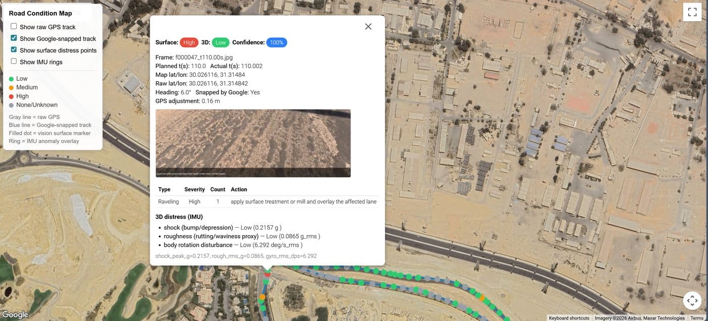
Continuous, low-cost capture from vehicles and site walks.
In-house computer vision converting capture into engineering data.
Owning the stack means owning the flywheel: allaiz can capture projects at higher frequency, lower marginal cost — and every capture makes the platform smarter.
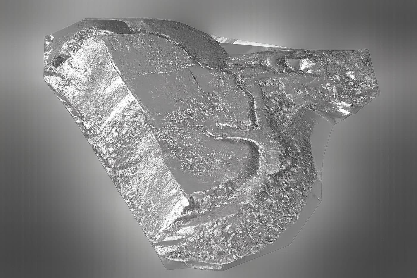
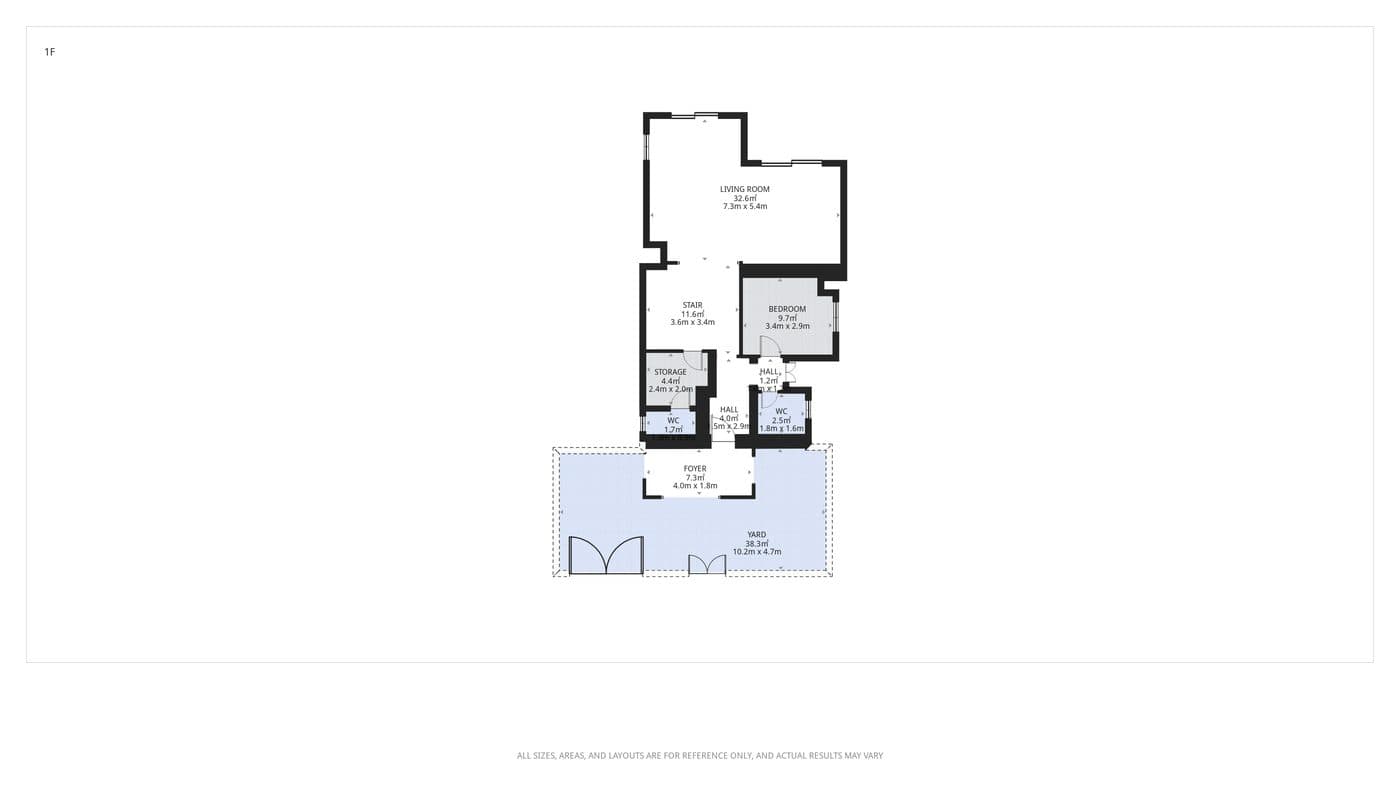
Every capture feeds the knowledge base.
Field video geolocated and converted into layered condition data on a GIS basemap — network-scale insight from a vehicle-mounted camera.
Captured site state compared against schedule and payment applications — measured volumes and verified progress, zone by zone.
Continuous low-cost capture from site walks and vehicles — raising capture frequency without raising capture cost.
The computer vision layer that turns raw capture into engineering data — built, trained, and improved in-house.
Put the capture stack on your site.
Live project collaboration is one of the three pillars of the allaiz pilot — joint capture deployment on selected ongoing projects.